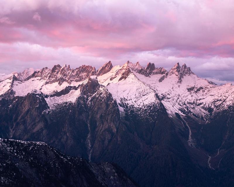
It has been four years since I got my first glimpse of the southern pickets from Trapper peak and took one of my favorite photos of all time showing the rugged range in sunset-lit glory.

At the time, knowing very little about climbing and mountaineering, I wondered if anyone had ever climbed any of these spires, the thought of it was mind boggling.
This last weekend, Darwin, Utkarsh, and I got a chance to try and make one of those spires go. Our objective was Mt. Terror, the high point of the southern picket range and one of the technically easier summits in the block.
We started the day early from Seattle at 4:30 am. I picked up the boys and we headed north to get to the marblemount ranger station. Since we were camping inside the North Cascades National Park, we needed permits for cross country travel.
While waiting for the ranger station to open, we went through our gear and decided who was carrying what. I took the advice of both Darwin and Utkarsh and put on long pants rather than shorts, a very good decision given the brushy trail ahead of us.
We chatted with the ranger about our plans and got our permits for two nights in the crescent creek basin zone. The ranger had little beta to offer other than “Don’t die” and “Have fun”. We promised to do at least one of those things, then drove the short distance to the Upper Goodell Creek trailhead and started hiking.
The first three miles of trail are shared with the approach to Terror basin (which is confusingly not where you need to go in order to climb Terror). It also appears to run on an old logging road. Because of this, and the increased traffic, this trail is a bit overgrown, but generally in very good shape. Spirits were high and we made quick progress.
We took our first break at the end of the easy trail 3.5 miles in. This is where the trail to terror basin and the trail to crescent creek basin diverge. It’s marked with a small cairn and the remnants of an old campfire. We noticed the mosquitoes trying to eat us (a trend for this entire trip) and applied some bug spray before continuing on the trail.
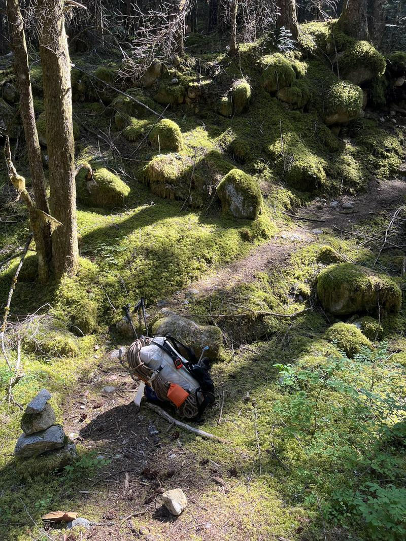
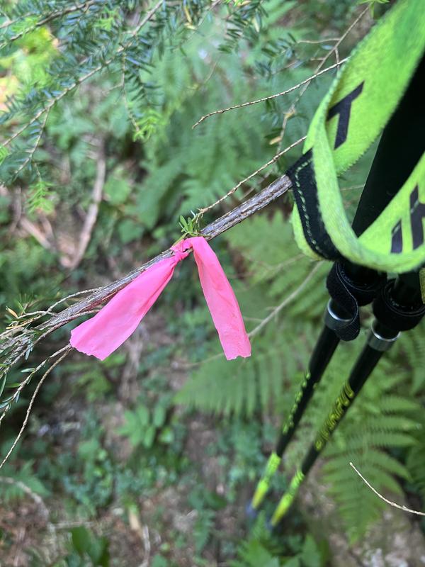
After this junction, the trail began its progressive disintegration. We initially had no trouble following it, but soon found ourselves wandering off trail constantly. This zone isn’t a bushwhack though, and we realized that even though the trail was primitive, it was far faster to travel on than through the rest of the forrest. This section was marked sporadically with some pink flagging tape, multiple times when we felt ourselves loosing the trail, we backtracked a few feet and searched for a pink flag to guide us.
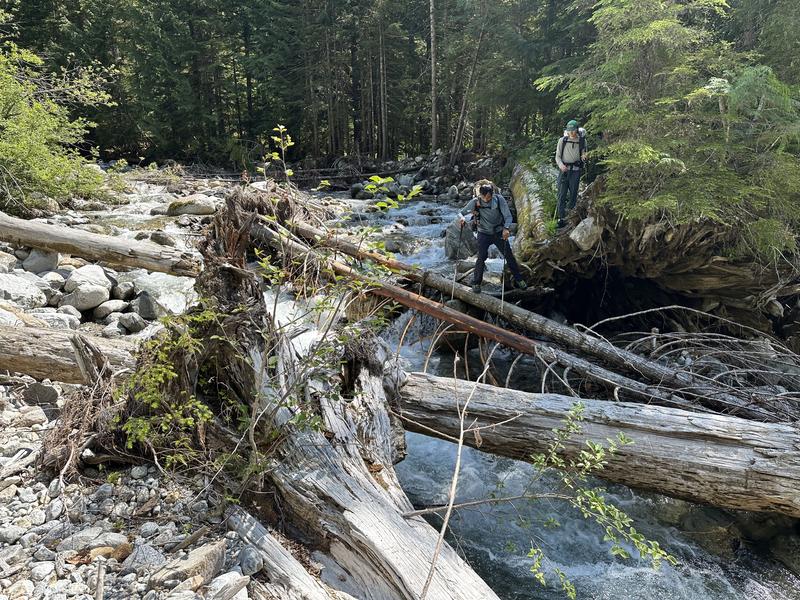
We got to the river crossing and saw where the trail continues on the other side. Here, the water was too deep and fast to ford safely so we started hunting up stream for a crossing. Upstream quite a ways we found a series of logs and rocks that made a quick scramble across. We bushwhacked back to the trail and filled our water since we knew we wouldn’t find any until up in the basin.
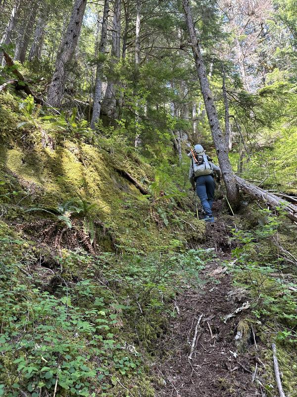
The next section of the trail is the climb from terror creek up to a small ridge that brings you up into the alpine. This is one of the steepest sections of trail I’ve ever seen, it gains 1500’ of elevation in about .4 miles, for an average slope angle of 40 deg. My expectations were low for this trail but the trail did exceed them. Because it winds through cliff bands, it’s pretty easy to follow and everyone goes the obvious way straight up. This section took a while though, this kind of steepness and ruggedness with overnight packs and climbing gear is a real workout.
On the ridge, we continued following the traces of trail and occasionally got lost until we got up above the treeline at about 5600’. Once above the treeline, we were treated to views of the McMillan spires over terror basin and the roost off to our right. Behind us was a beautiful view of Mt. Triumph. Opening up to our left was the final section of our day, the wide basin of scoured slabs terminating with the ridge that connects the chopping block to the rest of the southern pickets. We aimed just to the right of the small rounded bump on this ridge, where we planned to make camp. This section was an easy ascending traverse and it felt great to finally be up in an alpine zone.
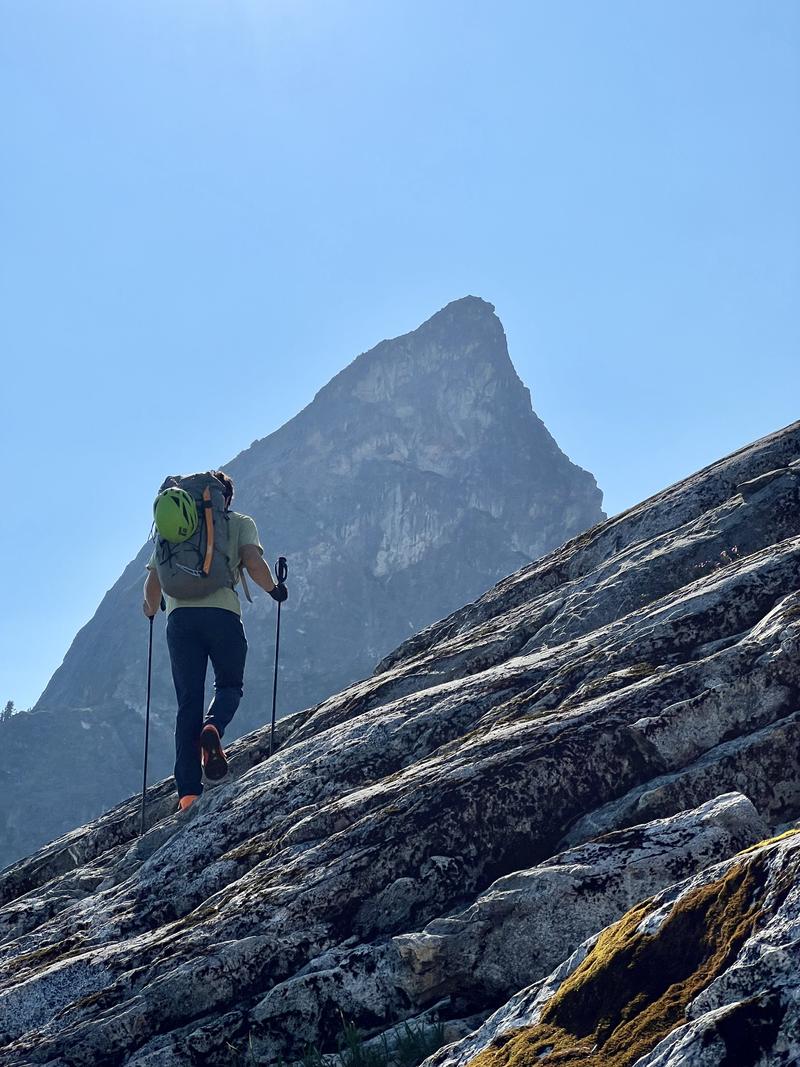
We reached our campsites at around 6:00pm and found a few good flat spots where we set up. From here we got our first view of Terror across the crescent creek basin. There was no running water at this site, but we found running water only a few minutes walk southeast (along the route we took to reach camp). We took photos and were slightly apprehensive about the gulley that we needed to take to gain the west ridge. Knowing that things often look far steeper and sketchier from far away, we decided that at very least, we were going over in the morning to check it out up close.
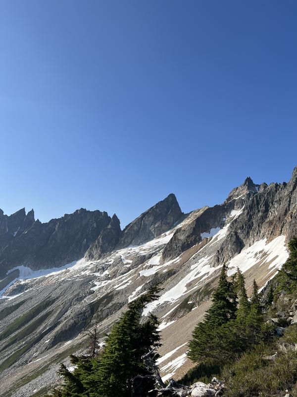
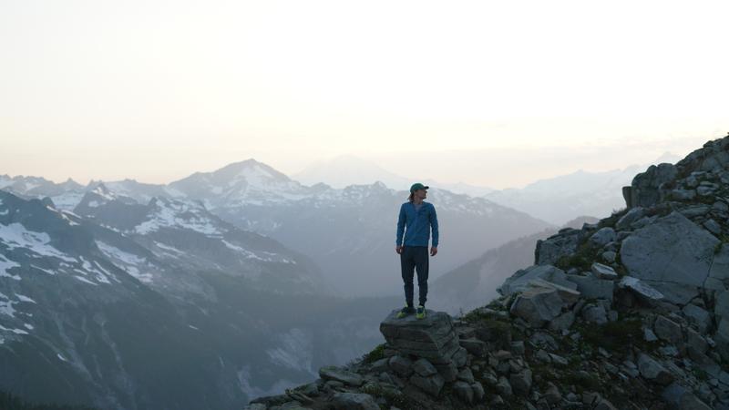
We made dinner and wandered around the ridge a bit taking in the incredible view. Once the sun dipped below the ridges, we planned for an alpine start and got some sleep.
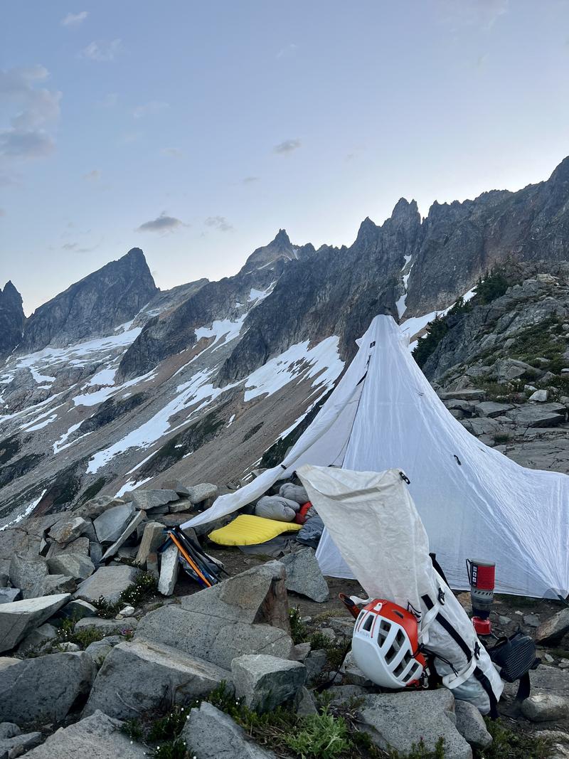
We woke up to find a slight undercast layer of clouds but a clear view of the crescent creek basin. The first section of our day was a steep descent into this basin from where we camped. We slid and hopped down the snow and rocks until we reached a flatter section and started traversing over boulders and choss. On the way to the gulley, we ended up ascending high into the snowfield below Deggenhardt and Terror then did a slightly downhill traverse on the flat snow to the slabs at the base of the gulley. This made for easy route finding and I think it’s the best way to traverse the basin with this amount of snow cover.
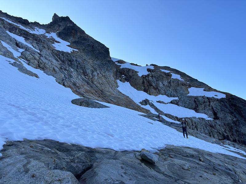
At the base of the gulley, we found some flat slabs and used this as a staging area to get ready for the climb. We peaked around the corner and saw some steep snow at the bottom of the gulley and a transition to rock, then back to snow soon after. The gulley follows a straight line to the col, but has a separate “sub-gulley” that branches to the left before re-joining the main gulley higher up. Most of the beta suggests following this sub-gulley. From the bottom of the route, we couldn’t see how high the snow would go in this sub-gulley.
We put on crampons and ice axes, then started climbing the snow. The slope was mild and it was easy to climb with traction. We quickly got past this first snow and onto a rock section with no moat to cross. Scrambling this rock with crampons was difficult but the section was short and we knew we would be getting back on snow soon. When we got to the snow, we could peek around the corner to the left . Above us in the sub-gulley, we saw a rap anchor which re-assured us that this was the proper route. In order to get over to the left though, we needed to traverse across the gulley on a narrow snow finger. This was one of the spicier parts of the day because of the moat both up and down the slope. We moved carefully and thankfully there was an easy step down back onto rock at the end of the snow finger.
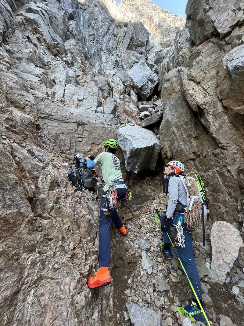
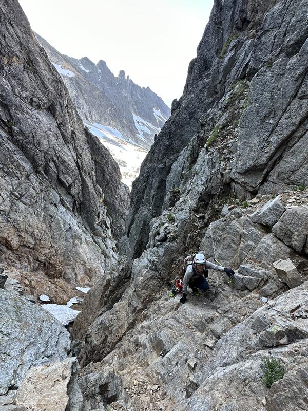
From here we scrambled up to the rap station above us. This was a bit sketchy due to loose rock. Since our whole party was in the bottom of the gulley, we moved very carefully to take off our crampons and stash them on our packs or clipped to our harnesses. The rap station is currently two pitons and a nut, with some webbing.
After regrouping we mostly moved one at a time in the gully to minimize rockfall risk. Unfortunately, this gulley is pretty narrow so there aren’t a lot of “Safe” places where you can get out of the way and let your partners trundle away. Above the rap station is one of the safer places.
We climbed up from the rap station to a small dusty ridge that separates the side gulley from the main gulley. From here we could see the col we were aiming for. Darwin opted to climb the right side of this gulley which he said was somewhat better rock but steeper and more exposed. Since Darwin was far off on the right, I climbed up the left side of the gulley simultaneously. Both of us sent rocks down continuously but since they all funneled down the main gulley the whole party was safe. The left side of the gulley is loose but low angle. I found it helpful to mantle and push off the wall of the gulley when making progress here. Once both Darwin and I were at the top of the col, Utkarsh repeated my route on the climbers left to meet us.
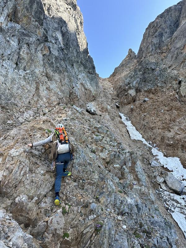
The top of the col has some space to stand around. Here we ditched our crampons and ice axes and poked around to find the start of the climb.
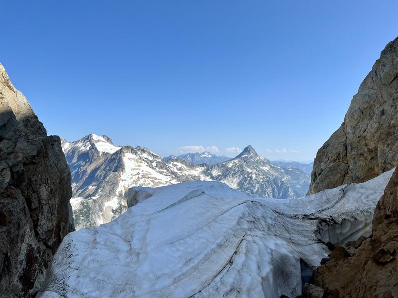
In the top of the col, there’s a little spire that separates the main gulley from the crack system that reaches the west ridge. We found that with the low snow this year, we could simply follow the moat around the back of this spire and to the right and found another small gulley that reached the start of the pitched climbing.
This gulley probably would be quite a bit easier if filled with snow, but we found it filled with loose muddy gravel. We used our arms on the sides to get up this and set up for the climb. The belay stances were tricky here and we had to balance a bit to make it work.
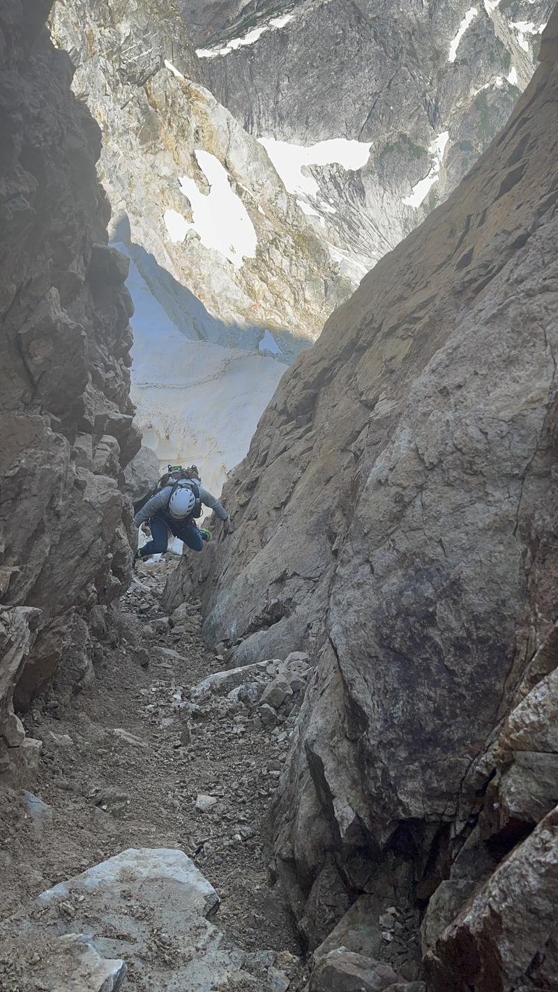
Darwin lead up the single pitch of low fifth in his approach shoes. We could communicate alright by yelling and bouncing our voices off the nearby towers. Darwin used most of the 60m rope to get up to an anchor, passing another rap station to his left. The more difficult moves all come quickly, with the top being easy and lower angle.
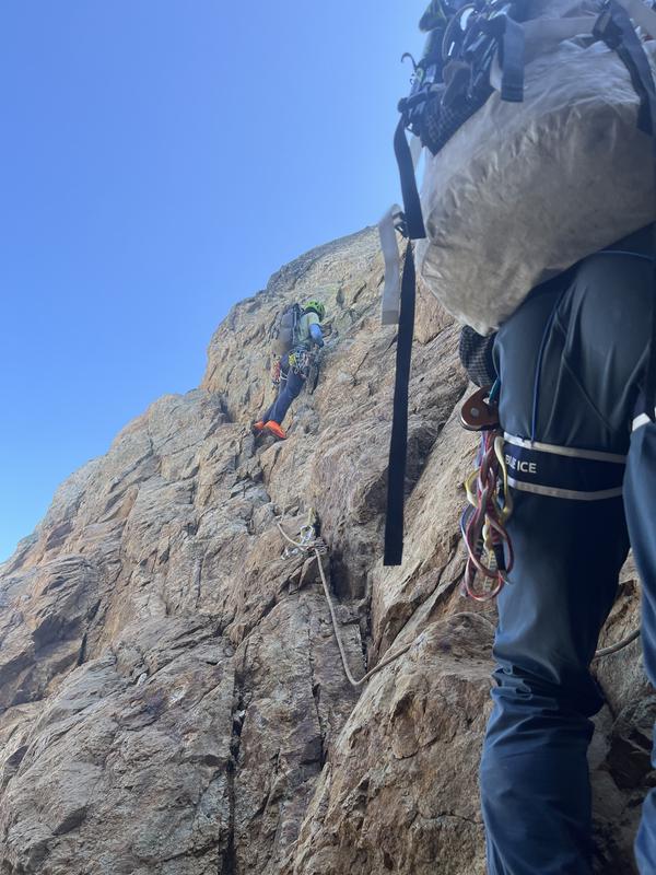
Darwin set up at the anchor and took all the slack then Utkarsh rigged up on the rope with a microtraxion. This allowed him to protect his climb like he were top-rope-soloing and left the rope for me to follow. Darwin then belayed me up the pitch and I cleaned like a normal trad pitch with two climbers. This system worked well and we were pretty happy with it, though I would hesitate more on difficult terrain. An advantage of this system is that each pitch can be twice as long as a more traditional three climber system where the leader trails two strands and belays each follower up on one. For this climb, it meant we only had to do a single pitch of climbing.
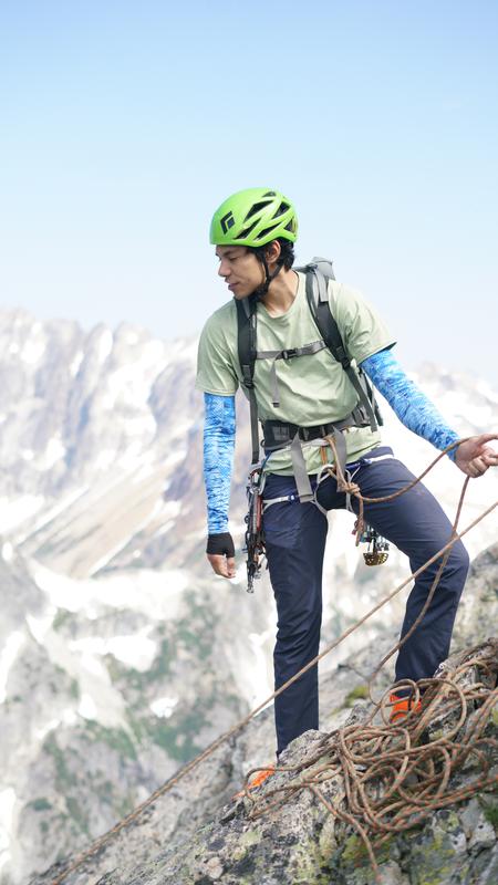
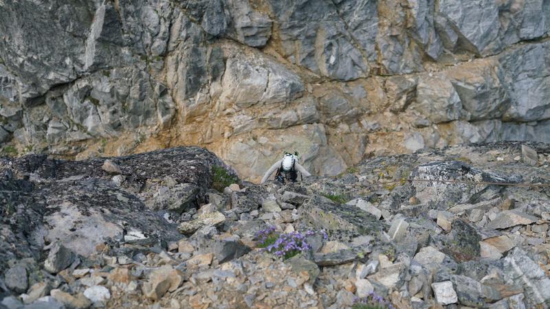
The anchor was in a comfortable spot where we could easily scramble and sit around so we all came off the system, packed the rope, and started climbing the west ridge. This part was easy boulder hopping with low exposure. If not for the incredible north cascades views, you probably could have convinced me I was climbing up an easy ridge at Snoqualmie!
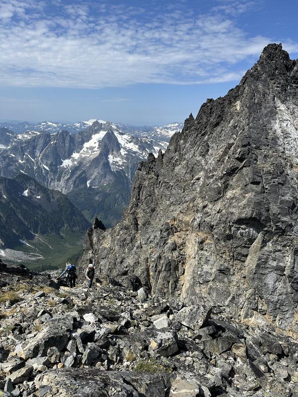
As we ascended, we kept to the climbers right of the ridge to avoid the false summit. Once we got to a spot where we could see the true and false summits, we looked for ways to scramble down to the gully that separates them. We all took slightly different routes here but they all went. A few of the easiest routes from the west ridge around to this gulley are marked with cairns, but we only saw those on the way back. This traverse has a bit more exposure but is still very chill.
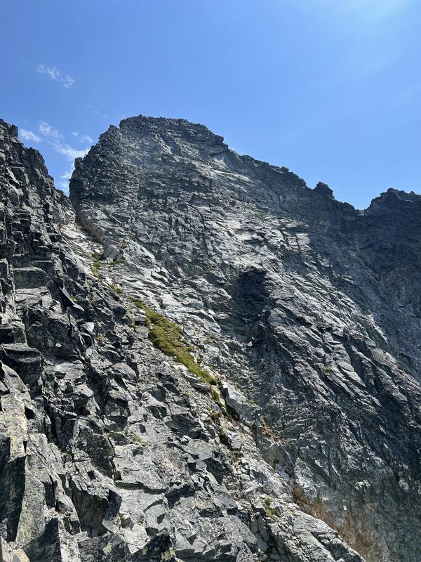
At the top of the gulley, we found the small chockstone mentioned in some reports and did some unnecessary cool moves using it to get up on the actual summit block. The scramble up from here to the summit is more difficult and exposed, you could probably call parts of it class 4, but the rock is bomber and this was a high point of the trip for me.
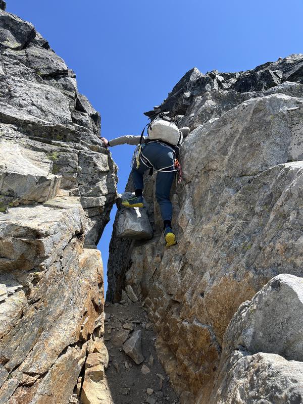
Darwin led the way, staying somewhat left of the white rock and mentioned this was a bit harder. Utkarsh and I took the white rock right to the top.
Close to the summit there is a wide area where a whole party can comfortably sit, when I reached this spot I saw Darwin sitting a few feet away on the true summit, which is a little pinnacle exposed on all sides and connected by a catwalk.
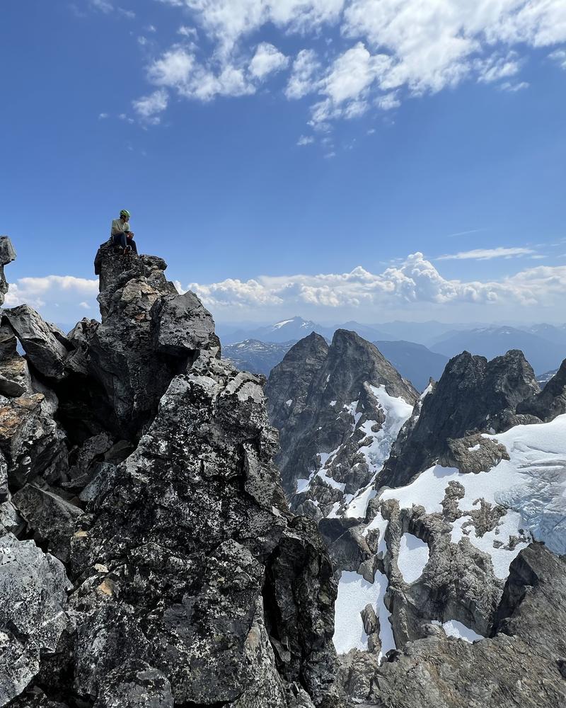
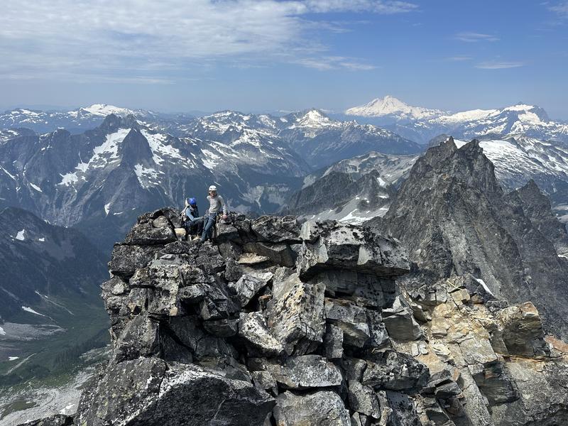
Once Darwin got his fill of the summit, I carefully scrambled over and touched the very top with my finger before heading back over the catwalk to the larger summit area. The summit register is tucked in a little crack on the true summit and it’s a real who’s who of cascades mountaineering. Even taking the easiest route on this mountain, we all felt accomplished to put our names among the group that’s been up here.
We were on the edge deciding if we should rappel from the summit or down climb back to the ridge. We opted to rappel but I’m not convinced this was the right move. Although the rap stations are good, the terrain isn’t quite steep enough to make it an easy rap and the rope got stuck (though thankfully not too bad) a couple times.
We cruised back down the west ridge and did two rappels down the pitch we climbed on the way up. The stations here are decent and the slings and rings were in pretty good shape.
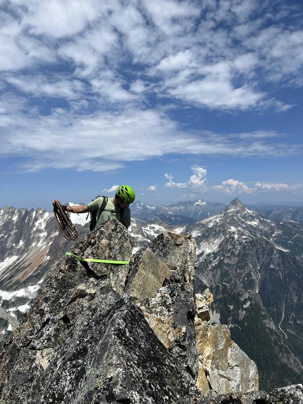
From the col, we “walked” (mostly slid on our butts) down the upper gulley to the ridge that separates the main gulley from the side gulley, then halfway down the side gulley to the rap station. Below here was the steepest and worst part of the gulley on the way up, so we rapped from here.
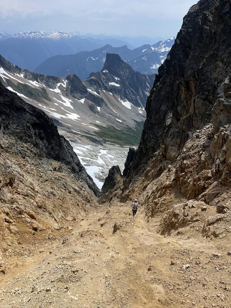
Darwin and Utkarsh rapped first and elected to stay low below the snow and pick their way through the moat, hopefully avoiding the whole upper snow section completely. I waited at the rap station for a while and figured that something about that wasn’t a great idea. After a long while, Darwin popped back into my view standing on the rocks and told me that staying in the moat means down climbing a bit of a waterfall and suggested I try to traverse back across the snow while on rappel.
I took out my ice axe and used it to steady myself as I kicked steps across the snow on the way down. The rope was just long enough with a little rope stretch to get me across the upper snow and onto the rock. This turned out to be the easy way, but had the rope not reached I wouldn’t have been very excited to pull it down while kicked into the snow.
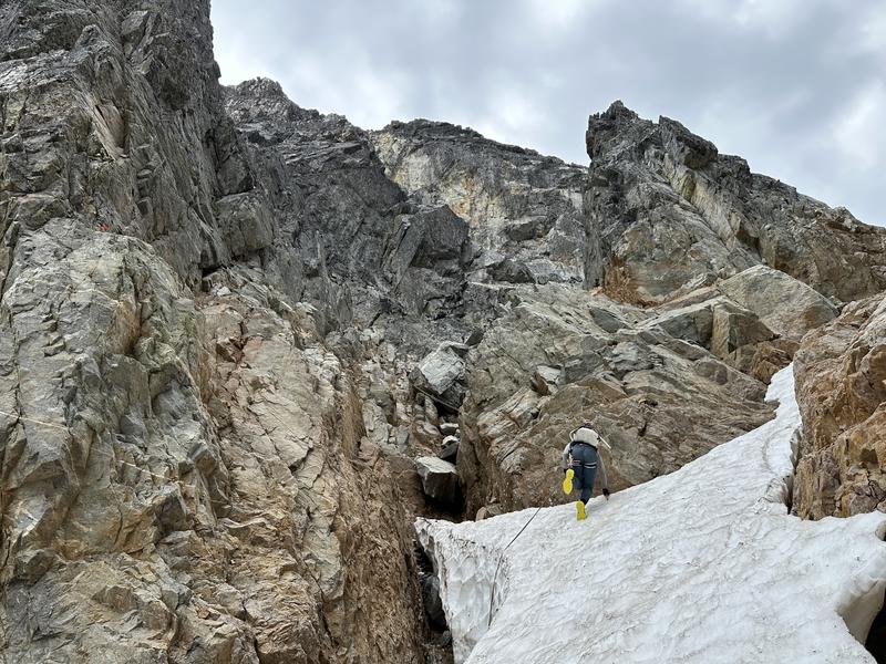
In the lower snow section, I got a little greedy and tried plunge stepping, hoping that the heat of the day would have softened the snow and made for an easy decent. Instead I ended up demonstrating my extremely fast self arrest reflexes and kicked more steps until I was back at the slabs.
On the way back to camp, we took a route that dropped elevation more continuously instead of traversing high like we did on the way in. This ended up being more of a headache for route finding around the slabs and gullies, I’d recommend following the route we did on the way in.
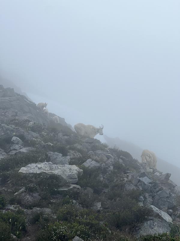
When we made it back to the steep slope below our camp, we spotted two mountain goats up on the ridge next to our campsite. We picked up the pace a bit to see if the goats had eaten any of our gear, but found it unmolested. The goats hung around nearby all through the evening and we were treated to a beautiful sunset.
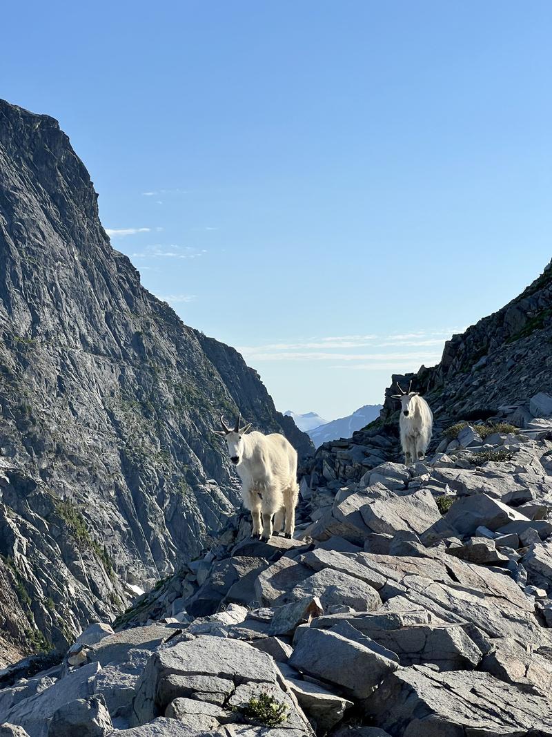
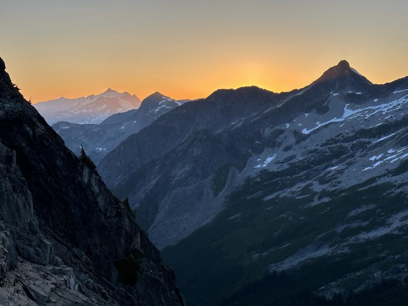
We woke to find ourselves in a cloud and figured we had best get moving in case the weather decided to turn worse from here. The goats were still there in the morning, and had actually brought their friends, including three baby goats.
On the hike out, we were pleasantly surprised to find the trail was much easier to spot and follow when looking from above, and we lost it far less.
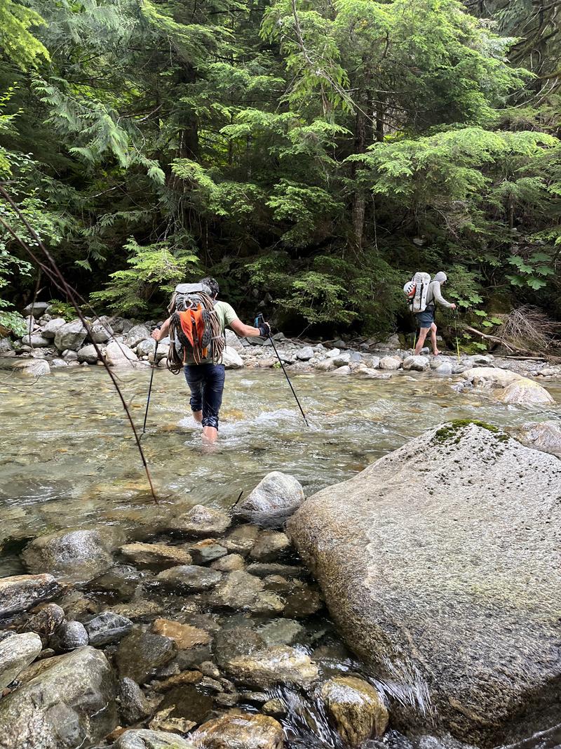
When we reached terror creek, we found a place only a little ways upstream of the trail where we could take off our shoes and ford the shallow water.
As we neared the car, the rain finally started. More than annoyed, I found myself thankful that of all the sections of this trip, only the least annoying one would be done in the rain.
This was my first trip into the southern pickets, and it certainly won’t be my last, but I may have to wait a bit to forget about the trail in before returning. Massive thanks to Darwin and Utkarsh for bringing the stoke and making this an incredible trip. I really couldn’t ask for a better crew.
Day one stats: 7.7 miles, 6132’ elevation gain, 512’ elevation loss
Day two stats: 4.0 miles, 2671’ elevation gain, 2667’ elevation loss
Day three stats: 7.5 miles, 364’ elevation gain, 6132’ elevation loss
Map (click the “Open in CalTopo” button to view all tracks and annotations):